

Inyo County air quality map
Live air pollution map of Inyo County • 836 Followers • 04:00, Nov 15
California Air Resources Board (CARB)Gila River Indian Community DEQ Air Quality ProgramGovernment of YukonUSA National Park ServiceGreat Basin Unified Air Pollution Control District (GBUAPCD)Government of the State of AguascalientesPlacer County APCDGeorgia Ambient Air Monitoring ProgramRob DarbyPolk County Air Quality DivisionAnonymous contributor
California Air Resources Board (CARB)Gila River Indian Community DEQ Air Quality ProgramGovernment of YukonUSA National Park ServiceGreat Basin Unified Air Pollution Control District (GBUAPCD)Government of the State of AguascalientesPlacer County APCDGeorgia Ambient Air Monitoring ProgramRob DarbyPolk County Air Quality DivisionAnonymous contributor





Stations
Clean Air Facilities
Contributors
19

Government
9
Diplomatic
0
Non-profit
0
Education
0
Corporate
0
Healthcare
0
Hospitality
0
Individual
10Top contributors in Inyo County
Who is sharing outdoor air quality data in Inyo County?
Newest stations deployed in Inyo County
AQI⁺ station ranking
Newest stations




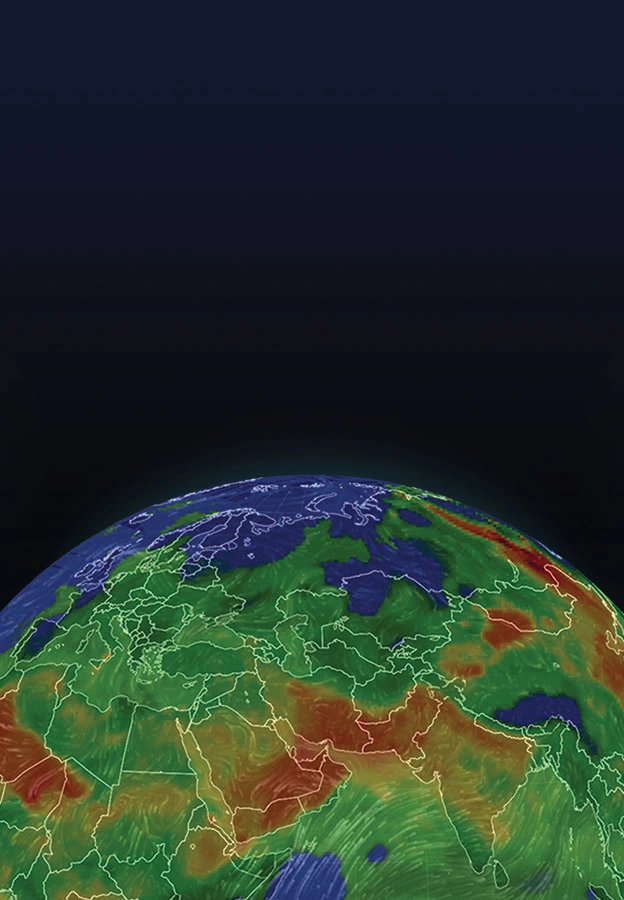
Learn more about global air quality


Where is the cleanest air quality in Inyo County?
- 100-198 Manzanita Rd3
- Owens Lake-ENE Shoreline3
- Owens Lake - Ash Point4
- Shell Cut4
- Coso Junction5
- Dirty Socks6
- Lizard Tail6
- North Beach Owens Lake6
- MANZ Visitor Center10
- Manzanar National Historic Site - Visitor Center station10
- NCore - White Mountain Research Station - OVL10
- Starlite Drive14
- Owens Valley Radio Observatory15
- Big Pine-CA18
- Daylight Pass Rd18
- Rudolph Road18
- Cottonwood Canyon Rd19
- Lone Pine Paiute/Shoshone Tribe-CA23
- Death Valley33
- 2477-2499 Diaz Ln48
- 123-101 N Tu-Su Ln53
- Sub Station Road163