
Richmond air quality map
Live air pollution map of Richmond • 21.8K Followers • 06:00, Jul 21

Stations
Clean Air Facilities
Contributors
35
Government
0Diplomatic
0Non-profit
0Education
3Corporate
0Healthcare
0Hospitality
0Individual
32Top contributors in Richmond
Who is sharing outdoor air quality data in Richmond?
Featured station
Discover some of the best station installation in Richmond
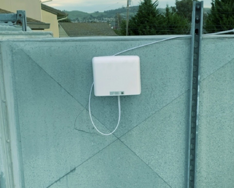

Station gallery

King Elementary School (WCCUSD), Richmond
37
Newest stations deployed in Richmond
AQI⁺ station rankingNewest stations

Clean Air Facilities


Learn more about global air quality


Where is the cleanest air quality in Richmond?
- Sanderling4
- Upper Coach Drive5
- Ocean Avenue6
- Oxford Avenue7
- Van Fleet Avenue7
- Skytown Preschool14
- Montana St15
- 441 36th Street17
- Atchison Woods18
- West Richmond Ave18
- 2800 Block Humphrey Ave19
- Metro Richmore Village22
- Santa Fe Avenue23
- 1819 Florida GWR24
- 761 10th St24
- Castro Heights24
- GWR Marine st24
- 1745 Rheem Ave25
- Marina Bay25
- Vista del Mar25
- 206 Seaview Dr26
- GWR Washington ave26
- McLaughlin Street26
- 230 W Richmond Ave27
- 35th Street & Cerrito Avenue27
- Esmond Avenue27
- Hilltop Village27
- Butte Street28
- Full Moon Drive28
- GWR Shields Reid29
- Richmond Annex29
- De Anza High School31
- Lincoln Elementary School (Oakland)34
- King Elementary School (WCCUSD)37


