
Riverside County air quality map
Live air pollution map of Riverside County • 18.5K Followers • 17:00, Jun 25

Stations
Clean Air Facilities
Contributors
14
Government
6Diplomatic
0Non-profit
1Education
2Corporate
0Healthcare
0Hospitality
0Individual
5Top contributors in Riverside County
Who is sharing outdoor air quality data in Riverside County?
Featured station
Discover some of the best station installation in Riverside County
Station gallery

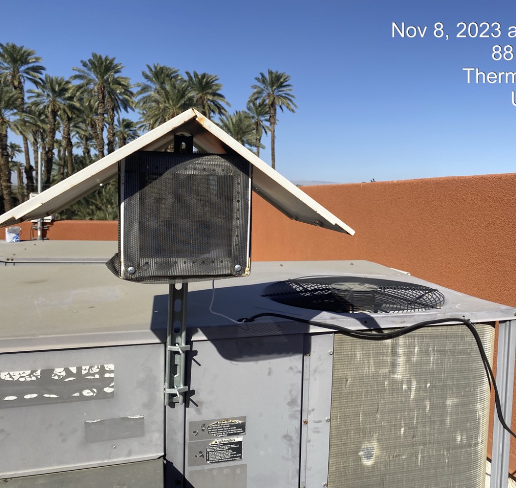
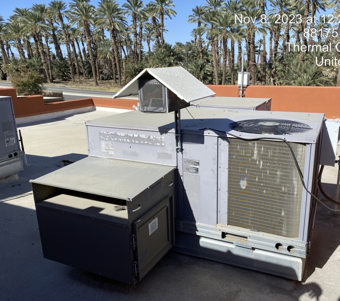
Oasis Elementary School (Coachella), Riverside County
11
Newest stations deployed in Riverside County
AQI⁺ station rankingNewest stations


Learn more about global air quality


Where is the cleanest air quality in Riverside County?
- Joshua Tree National Park - Chuckwalla 31
- Joshua Tree National Park - Pinto Wells station2
- Butterfly Peak11
- Oasis Elementary School (Coachella)11
- Desert Mirage High School17
- Grapefruit Blvd and Garfield St28
- 47350 Foothill Rd29
- 12165-12189 Santiago Rd32
- Pechanga Reservation38
- Torres-Martinez Reservation39
- Morongo School42
- Temecula (Lake Skinner)42
- Indio Station48
- Joshua Tree NP-Cottonwood #253
- Avenida Conchita69


