Add


Hourly forecast
Mbagathi, Nairobi air quality index (AQI⁺) forecast


Daily forecast
|
Mbagathi, Nairobi air quality index (AQI⁺) forecast
| Today | 55 |  | 25° 15° |  25 km/h |  68% |
| Mon | 59 | | 25° 15° | 25 km/h | 70% |
| Tue | 62 | | 24° 16° | 27 km/h | 73% |
Air pollutants
What is the current air quality near Mbagathi?

PM2.5 concentration is currently 1.9 times the World Health Organization annual PM2.5 guideline value.
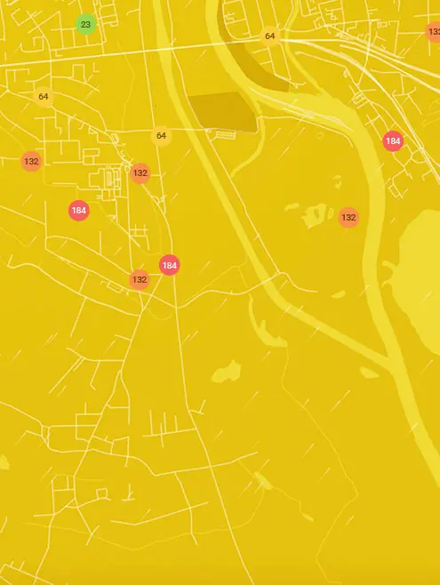
Real-time Mbagathi, Nairobi air pollution map
Health recommendations
 Sensitive groups should reduce outdoor exercise |
 Close your windows to avoid dirty outdoor air Get a monitor |
 Sensitive groups should wear a mask outdoors Get a mask |
 Sensitive groups should run an air purifier Get an air purifier |
Historic air quality near Mbagathi
History
Historic air quality graph for Mbagathi
52 AQI⁺ US
Moderate
14:00–15:00 Nov 15 Local time
AQI⁺ US
Measure your own air quality
Get a monitor and contribute air quality data in your city.
Most polluted locations near Mbagathi, Nairobi
Worldwide AQI⁺ ranking
Station ranking
Real-time Mbagathi AQI⁺ station ranking

Get comprehensive data about air quality in Mbagathi, Nairobi
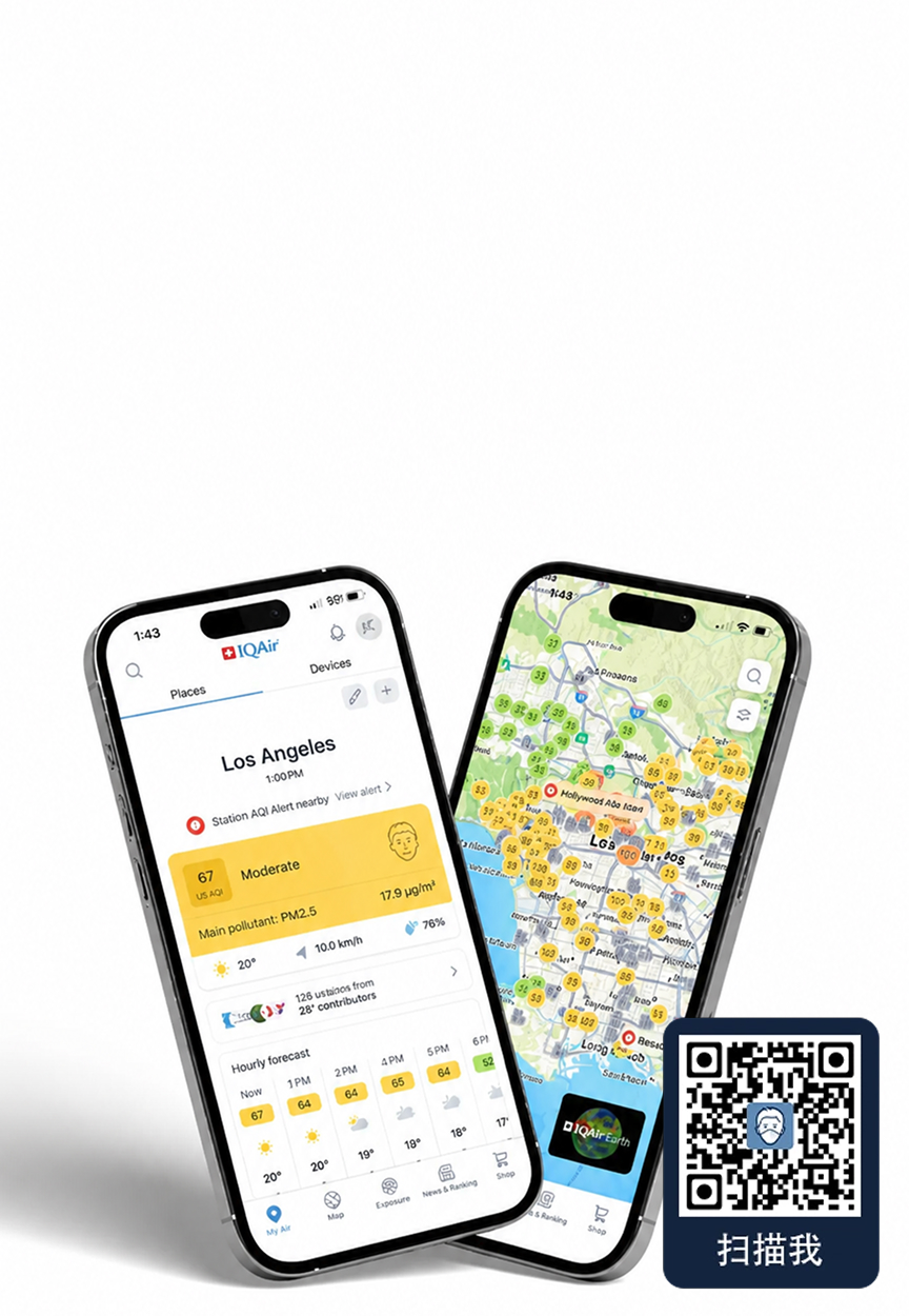


Download our Air Quality App


Learn more about global air quality


Where is the cleanest air quality in Nairobi?
- Wasaa Road13
- Kihara Road19
- Kitisuru21
- JKIA EXPRESS WAY 228
- Jomo Kenyatta International Airport33
- WILSON AIRPORT33
- UNEP Collocation Site 2(UNEP Grounds) Nairobi38
- Moi Air Base Kenya39
- Nairobi City Hall40
- Sandalwood Lane42
- ABC EXPRESS WAY44
- BrookHouse Schools Karen44
- ICRAF - WORLD AGROFORESTRY CENTER44
- KENYA METEOROLOGICAL DEPARTMENT44
- KMD Dagoretti Corner Nairobi44
- Kawangware44
- Kibra46
- Birongo Square Nairobi West47
- Mbagathi52
- ECI OFFICE KAREN53
- Kihumbuini Kangemi55
- Sameer Business Park55
- Sameer Industrial Park58
- St.Peter Clavers Primary School58
- UoN parklands Campus58
- Woodley Kibera59
- NYERERE ROAD64
- Nairobi Primary School64
- Visa Oshwal Parklands65
- Langata87
- Kangemi Health Center KENYA94
- Kariobangi North Health Center107