
Air quality near UC Berkeley Central Sierra Snow Lab, Nevada County
Air quality index (AQI⁺) and PM2.5 air pollution near UC Berkeley Central Sierra Snow Lab, Nevada County • 999 Followers • 14:00, Jun 25
Data source: PurpleAir
38
US AQI⁺Good

Main pollutant:
PM2.5
6.9 µg/m³
19°
21 km/h
46 %
Data source: PurpleAir
Hourly forecast
UC Berkeley Central Sierra Snow Lab, Nevada County air quality index (AQI⁺) forecast
Daily forecast
UC Berkeley Central Sierra Snow Lab, Nevada County air quality index (AQI⁺) forecast
| Today | 37 | 19° 12° | 24 km/h | 52% | |
| Fri | 20 | 90% | 11° 7° | 27 km/h | 87% |
| Sat | 13 | 90% | 7° 2° | 30 km/h | 93% |
Air pollutants
What is the current air quality near UC Berkeley Central Sierra Snow Lab?
PM2.5 concentration is currently 1.4 times the World Health Organization annual PM2.5 guideline value.
Health recommendations
Enjoy outdoor activities |
Open your windows to bring clean, fresh air indoors Get a monitor |
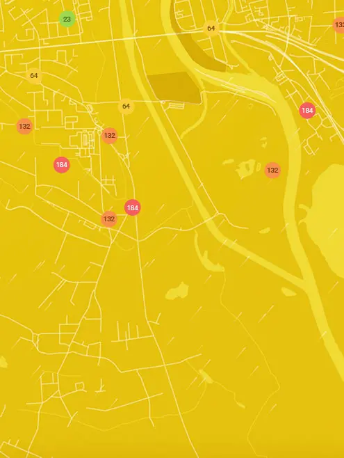
Real-time UC Berkeley Central Sierra Snow Lab, Nevada County air pollution map
Pollen
What is the pollen count in UC Berkeley Central Sierra Snow Lab today?
Index

Moderate
Tree None | 0% |
Grass Low | 25% |
Weed Moderate | 50% |
Source:
wetter.comPollen
What is the pollen count in UC Berkeley Central Sierra Snow Lab today?
Index
Moderate
Tree None | 0% |
Grass Low | 25% |
Weed Moderate | 50% |
Source:
wetter.comHistoric air quality near UC Berkeley Central Sierra Snow Lab
History
Historic air quality graph for UC Berkeley Central Sierra Snow Lab
Measure your own air quality
Get a monitor and contribute air quality data in your city.
Most polluted locations near UC Berkeley Central Sierra Snow Lab, Nevada County
Worldwide AQI⁺ rankingStation ranking
Real-time UC Berkeley Central Sierra Snow Lab AQI⁺ station ranking
Get comprehensive data about air quality in UC Berkeley Central Sierra Snow Lab, Nevada County


Download our Air Quality App
Learn more about global air quality


Where is the cleanest air quality in Nevada County?
- Shoshone Trail Court11
- Opalite Way17
- Highland Drive22
- James Lane22
- Jeabjo Way23
- Morro Drive23
- Banner Lava Cap Road27
- Pine Knoll27
- Lee Lane28
- Starduster Drive30
- Fox Hill Road31
- Jones Ridge Rd31
- Summit Ridge PF31
- Banner Quaker Hill Road32
- Chalk Bluff Road32
- Sage Hen Road32
- Cement Hill Road33
- Central House Road station33
- Champion Mine Road33
- Coyote Court33
- Zeibright Road33
- Alta Sierra Ranches34
- CCA Big Blue and Gracie34
- Coyote Street34
- Spring Road34
- West Piper Lane34
- Country Circle35
- Deer Ridge Drive36
- Khalid Court36
- Cherokee37
- North Bloomfield Road38
- UC Berkeley Central Sierra Snow Lab38
- Angie Court39
- Christopher Robin Way41
- Woodward Tahoe42
- McCourtney Road43
- Williams Ranch Elementary School47
- Wildwood West Drive63


