

Nevada County air quality map
Live air pollution map of Nevada County • 03:00, May 21
Stations
Clean Air Facilities
Contributors
42
Government
0Diplomatic
0Non-profit
1Education
0Corporate
0Healthcare
0Hospitality
0Individual
41Top contributors in Nevada County
Who is sharing outdoor air quality data in Nevada County?
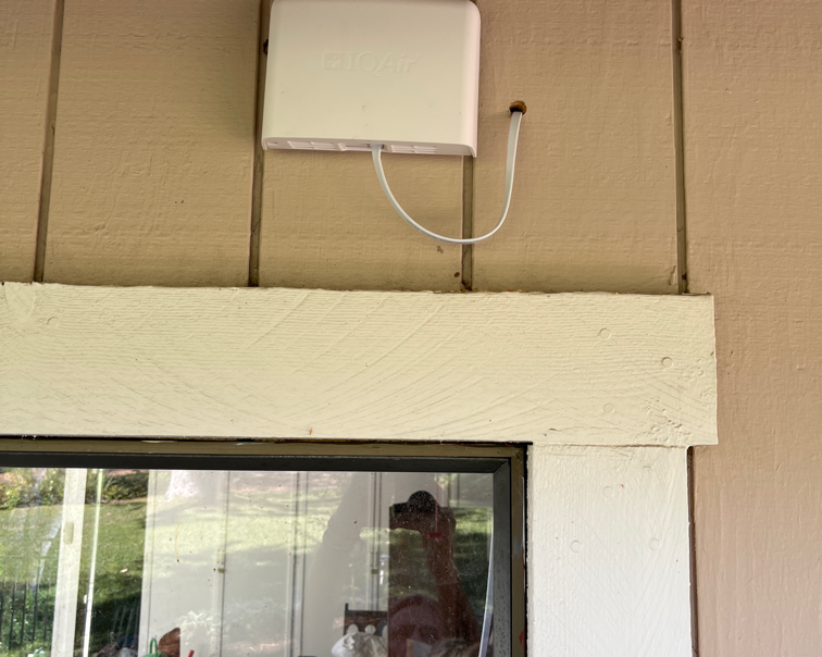
Featured station
Discover some of the best station installation in Nevada County

Station gallery

Shoshone Trail Court, Nevada County
11
Newest stations deployed in Nevada County
AQI⁺ station rankingNewest stations


Learn more about global air quality


Where is the cleanest air quality in Nevada County?
- Hyatt Road11
- Opalite Way11
- Pine Knoll11
- Sage Hen Road11
- Shoshone Trail Court11
- Morro Drive13
- Jeabjo Way14
- Highland Drive16
- Starduster Drive16
- Starlite Lane16
- Zeibright Road16
- Banner Lava Cap Road17
- Hanging Wall Drive17
- Angie Court18
- James Lane18
- Champion Mine Road20
- Spring Road20
- Alta Sierra Ranches21
- Lake Lane21
- McCourtney Road21
- North Bloomfield Road21
- Jones Ridge Rd22
- Lee Lane22
- Cherokee23
- Coyote Court23
- Khalid Court23
- Banner Quaker Hill Road24
- Chalk Bluff Road24
- Country Circle24
- Fox Hill Road24
- Williams Ranch Elementary School24
- Wildwood West Drive25
- CCA Big Blue and Gracie26
- Cement Hill Road26
- Summit Ridge PF27
- Central House Road station28
- Coyote Street28
- Deer Ridge Drive28
- West Piper Lane28
- Christopher Robin Way32
- UC Berkeley Central Sierra Snow Lab34
- Woodward Tahoe36


