Riverside County空气质量地图

Riverside County的实时空气污染地图 • 18.3K 关注者 • 11:00, 6月 01日

洁净空气空间

数据提供者

15
Government

政府

6
Diplomatic

外交

0
Non-profit organization

非盈利机构

1
Education

教育

3
Corporate

企业

0
Healthcare

医疗健康

0
Hospitality

餐旅休闲

0
Individual

个人

5
开始贡献数据

精选监测站

查看 Riverside County 优秀的监测案例

image 0image 1

站点图库

美国国旗

Oasis Elementary School (Coachella), Riverside County

33

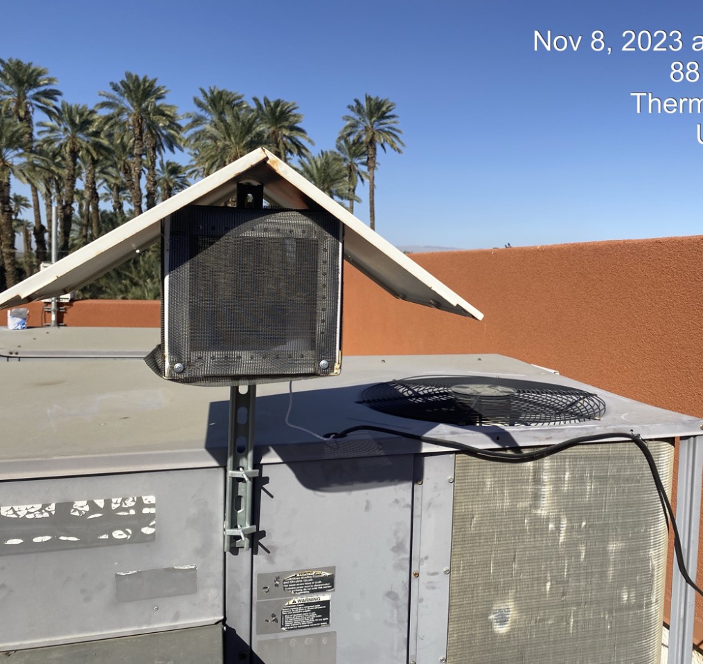
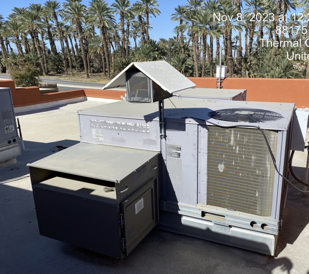
在Riverside County部署的最新监测站

最新监测站

#站点数据贡献者美国 AQI⁺
1

12165-12189 Santiago Rd

数据提供者主页图片

Anonymous contributor

36

2

Joshua Tree National Park - Chuckwalla 3

数据提供者主页图片

Anonymous contributor

10

3

47350 Foothill Rd

数据提供者主页图片

Anonymous contributor

33

4

Joshua Tree National Park - Pinto Wells station

数据提供者主页图片

USA National Park Service

17

5

Grapefruit Blvd and Garfield St

数据提供者主页图片

Imperial County Department of Toxic Substance and Comite Civico del Valle

22

6

Butterfly Peak

数据提供者主页图片

IQAir Community Member

11

7

Avenida Conchita

数据提供者主页图片

Anonymous contributor

27

8

Desert Mirage High School

数据提供者主页图片

Imperial County Department of Toxic Substance and Comite Civico del Valle

数据提供者主页图片

Desert Mirage High School

39

9

Indio Station

数据提供者主页图片

Twenty-Nine Palms Band of Mission Indians

56

10

Joshua Tree NP-Cottonwood #2

数据提供者主页图片

California Air Resources Board (CARB)

数据提供者主页图片

USA National Park Service

46